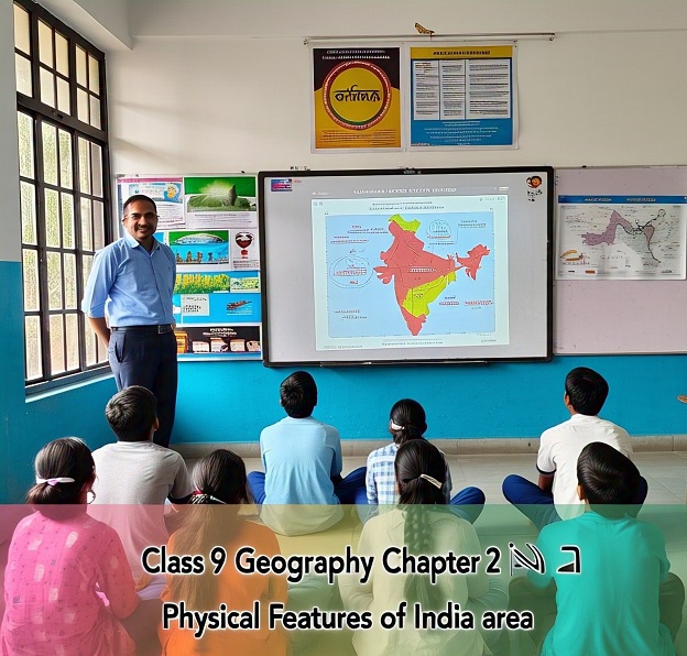
NCERT Class 9 Geography Chapter 2 – Physical Features of India
Question: What kind of terrain is seen in the plains?
Answer: Vast stretches of plain land.
Question: What features are common in hilly regions?
Answer: Rugged terrain with mountains and valleys.
Question: What major physical features does India have?
Answer: Mountains, plains, deserts, plateaus, and islands.
Question: What is the nature of the Peninsular Plateau?
Answer: It is one of the most ancient and stable landmasses.
Question: Which are the most recent landforms in India?
Answer: The Himalayas and the Northern Plains.
Question: What does the Himalayan mountain system represent?
Answer: A youthful topography with high peaks and deep valleys.
Question: What are the Northern Plains formed of?
Answer: Alluvial deposits.
Question: What theory explains the movement of continents?
Answer: The theory of plate tectonics.
Question: What are the three types of plate boundaries?
Answer: Convergent, divergent, and transform boundaries.
Question: What results from the movement of plates?
Answer: Formation of mountains, earthquakes, and volcanoes.
Question: What is Gondwanaland?
Answer: An ancient landmass that included India.
Question: Which plates collided to form the Himalayas?
Answer: The Indo-Australian Plate and the Eurasian Plate.
Question: What does the movement of plates cause on the Earth’s surface?
Answer: Creation of various landforms.
Question: What is the significance of plate movements in Indian landform formation?
Answer: They led to the uplift of the Himalayas and formation of Northern Plains.
Question: How many major physical divisions does India have?
Answer: Six.
Question: What lies to the north of the Himalayas?
Answer: The Tibetan Plateau.
Question: What are the three parallel ranges of the Himalayas?
Answer: Himadri, Himachal, and Shiwalik.
Question: Which is the northernmost range of the Himalayas?
Answer: Himadri or Greater Himalayas.
Question: What is the average height of the Himadri range?
Answer: 6,000 metres.
Question: Which range has the most rugged terrain in the Himalayas?
Answer: Himachal or Lesser Himalayas.
Question: What are duns?
Answer: Longitudinal valleys in the Shiwalik range.
Question: What is the outermost range of the Himalayas called?
Answer: Shiwalik.
Question: What is the average width of the Shiwalik range?
Answer: 10 to 50 km.
Question: What are duns composed of?
Answer: Thick gravel and alluvium.
Question: What are the Himalayas called from west to east based on rivers?
Answer: Punjab, Kumaon, Nepal, and Assam Himalayas.
Question: What is Purvanchal?
Answer: Eastern hills and mountains of the Himalayas.
Question: Name one hill range in Purvanchal.
Answer: Patkai Hills.
Question: What is the major composition of Purvanchal hills?
Answer: Sedimentary rocks.
Question: What are the Northern Plains formed by?
Answer: Alluvial deposits of the Indus, Ganga, and Brahmaputra rivers.
Question: What is the total area of the Northern Plains?
Answer: About 7 lakh sq km.
Question: What is the length of the Northern Plains?
Answer: 2,400 km.
Question: What is the average width of the Northern Plains?
Answer: 240 to 320 km.
Question: Which part of the Northern Plains lies to the west?
Answer: Punjab Plains.
Question: What is the major river system in Punjab Plains?
Answer: Indus and its tributaries.
Question: What type of farming is common in the Northern Plains?
Answer: Intensive farming.
Question: What is the Bhabar region?
Answer: A narrow belt of pebbles lying parallel to the Shiwaliks.
Question: What lies south of the Bhabar region?
Answer: The Terai region.
Question: What is Terai known for?
Answer: Wet, swampy, and marshy land.
Question: What is Bhangar?
Answer: Older alluvium found above floodplains.
Question: What is Khadar?
Answer: Newer alluvium replenished annually.
Question: Which alluvium is more fertile, Bhangar or Khadar?
Answer: Khadar.
Question: Where does Khadar soil form?
Answer: In floodplains.
Question: What is the shape of the Peninsular Plateau?
Answer: Triangular.
Question: What lies north of the Peninsular Plateau?
Answer: Central Highlands.
Question: What separates the Central Highlands from the Deccan Plateau?
Answer: The Narmada River.
Question: Name rivers draining the Malwa Plateau.
Answer: Chambal, Sind, Betwa, and Ken.
Question: What is the eastward extension of the Central Highlands?
Answer: Chotanagpur Plateau.
Question: What is the slope of the Deccan Plateau?
Answer: From west to east.
Question: What is the Deccan Plateau bounded by in the northwest?
Answer: Satpura range.
Question: Which hills lie in the northeast of the Deccan Plateau?
Answer: Mahadev, Kaimur, and Maikal Hills.
Question: Which Ghats lie to the west of the Deccan Plateau?
Answer: Western Ghats.
Question: Which Ghats lie to the east of the Deccan Plateau?
Answer: Eastern Ghats.
Question: Which Ghats are higher and more continuous?
Answer: Western Ghats.
Question: What is the average height of the Eastern Ghats?
Answer: 600 metres.
Question: What is the highest peak in the Eastern Ghats?
Answer: Mahendragiri.
Question: What is the highest peak in the Western Ghats?
Answer: Anai Mudi.
Question: Where is the Indian Desert located?
Answer: To the west of the Aravali Hills.
Question: What is the climate of the Indian Desert?
Answer: Arid with low rainfall below 150 mm.
Question: What type of rivers are found in the Indian Desert?
Answer: Ephemeral rivers.
Question: Name one important river in the Indian Desert.
Answer: Luni River.
Question: What are barchans?
Answer: Crescent-shaped sand dunes.
Question: What divides the Western Coastal Plains?
Answer: Konkan, Kannad, and Malabar coasts.
Question: Which coastal plain is broader?
Answer: The Eastern Coastal Plain.
NCERT Class 9 Geography Chapter 2 – Physical Features of India
